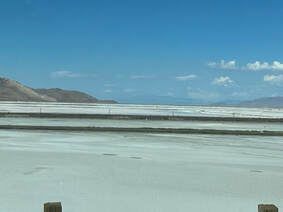
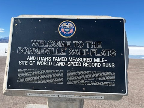
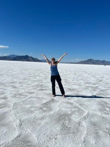
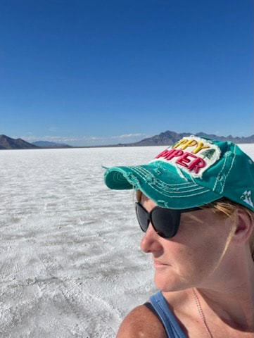
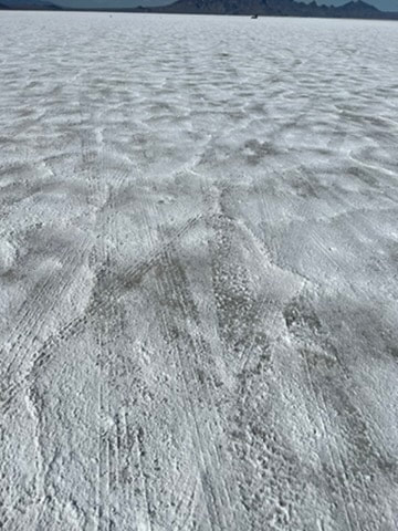
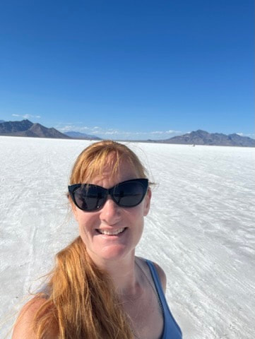
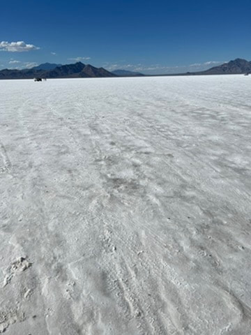
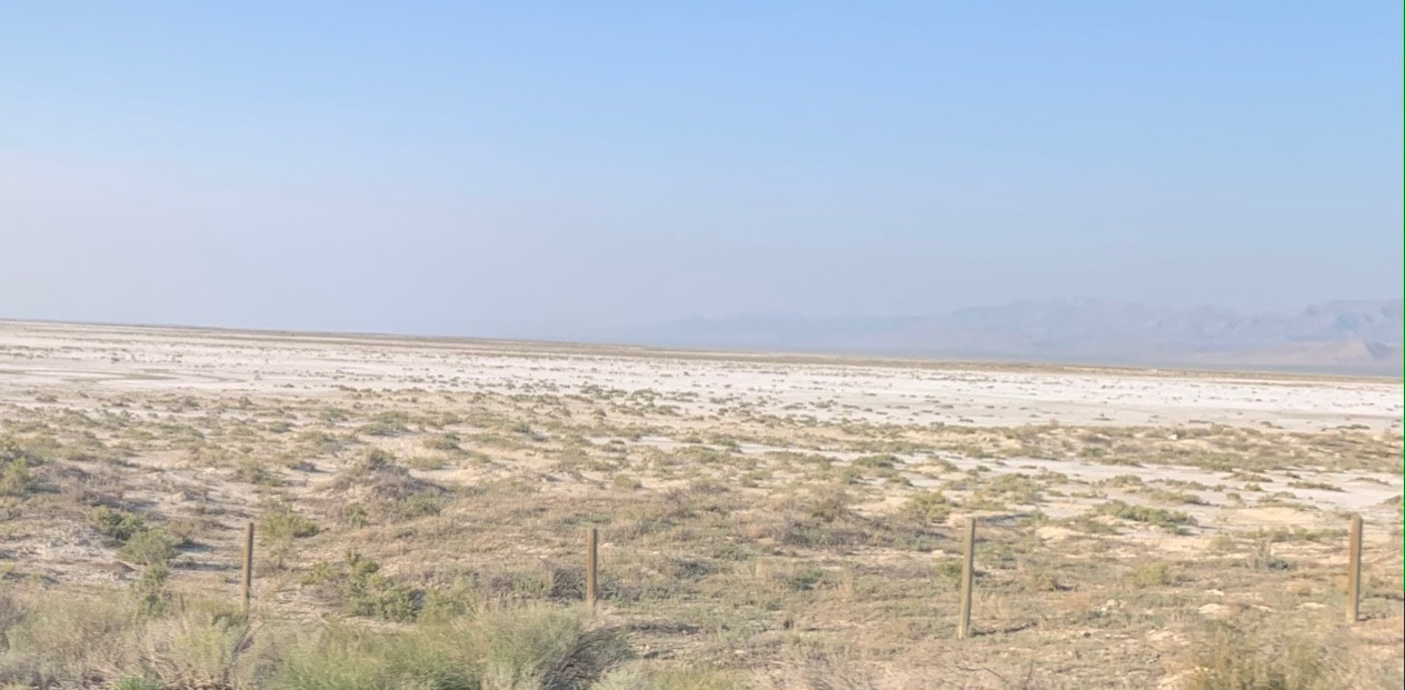
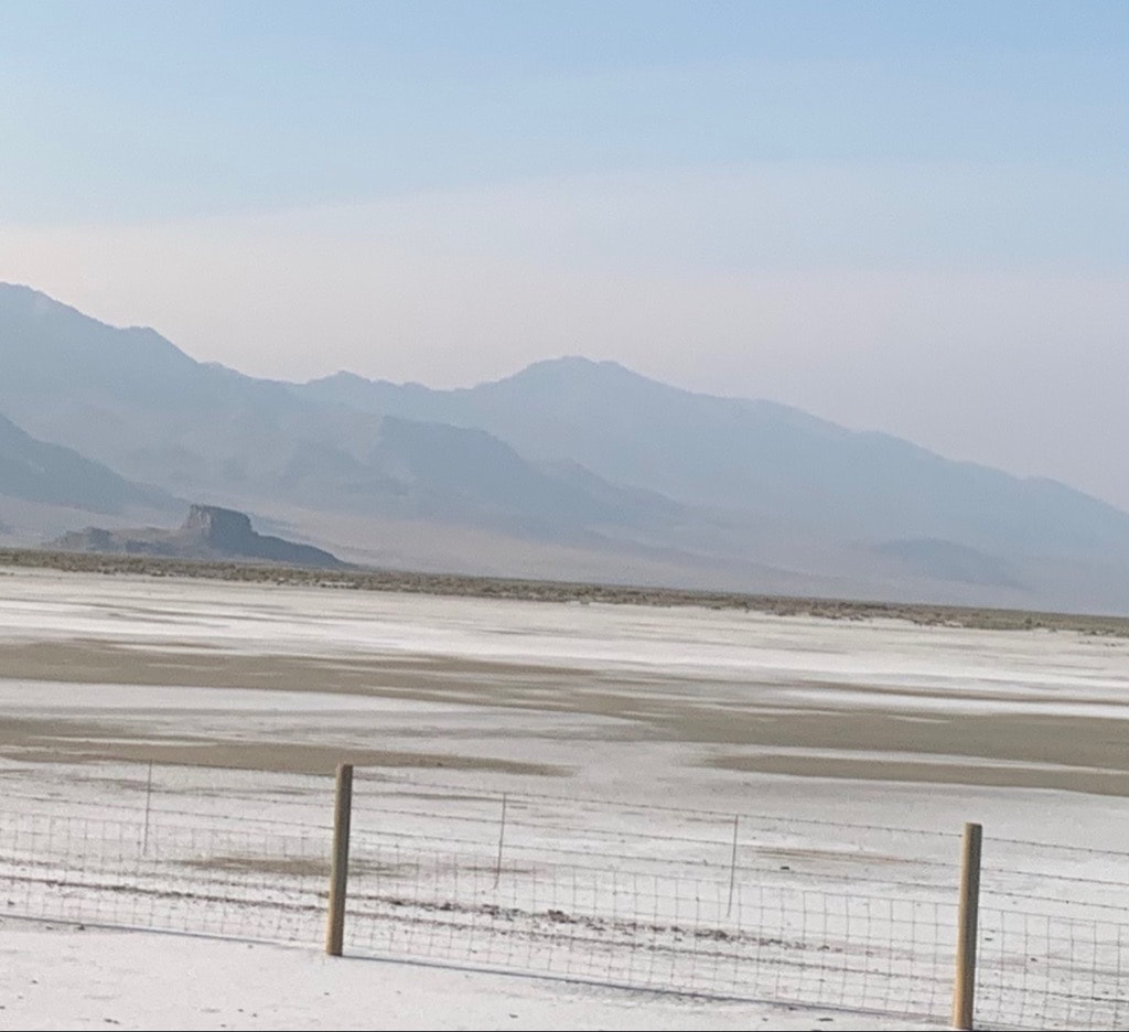
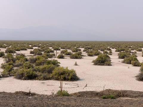
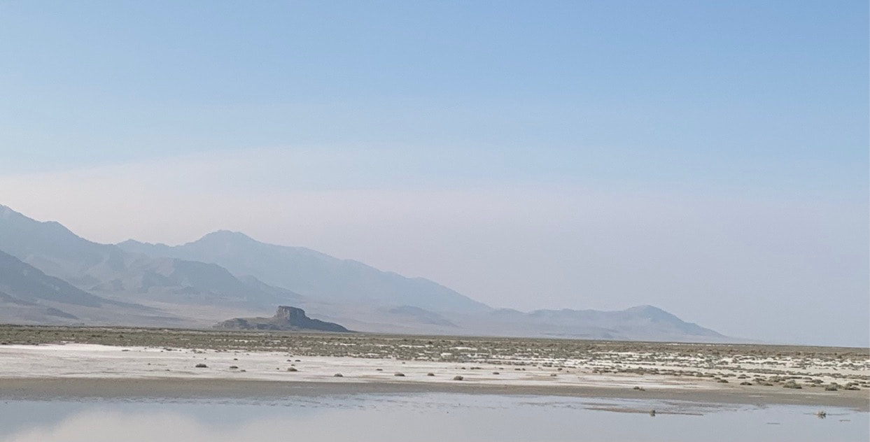
 The Bonneville Salt Flats- Utah People ask, "Can't you just see the salt flats from the highway?" And yes, you can. But the state has made the effort to provide a lovely rest area so you can visit them and see them for yourself, because it makes SUCH a difference to see and touch them up close. And yes... I tasted it... it's salt. This area, just off highway 1-80 near the Utah/Nevada border is considered part of the Great Basin. It's said this entire area was once covered with water and as it began to dry up, it became more of a desert-like environment. It is believed that it covered about 1/3 of the entire state of Utah, and of course spilled over to the surrounding states. The Bonneville Salt Flats are only about 10 miles from Great Salt Lake- which was once part of Lake Bonneville. This area specifically, once used to be Lake Bonneville. It was named for Captain B.L.E. Bonneville who was an explorer in the 1830 and spent most of his time studying the Great Basin region. The lake slowly dried up and left depsosits of salt behind. So much so that it strangled out any (or most) forms of vegetative life. There are some Native American tribes that managed to work around the dry barren lands (& I bet their food tasted amazing...!) but most others moved on to a more hospitable climate. This area covers more than 30,000 acres and is now protected and state owned. So... even though you may see vehicles driving across the salt flats... it is frowned upon. So please don't. Nothing lasts forever and it would be nice to preserve this precious piece of land and its history. Speaking of... In my research on the Oregon Trail, I kept hearing the stories of the dreaded salt flats over and over again. And when I followed the trail in 2021, I somehow skipped right by them, without stopping. I saw remnants as I went along (from the highway) but I missed the rest stop to get the full experience. I was so happy to have this second chance!! (These four photos below were from my first trip. At first, I thought I was seeing snow! But then realized I passed the main rest stop entirely.) The Native Americans didn't really leave us much documentation about the salt flats, so as early as I could find was the notes from Jim Bridger. He was a mountain man and travelled the area extensively. He would document it around 1824. But it wasn't until people started looking West that the salt flats became an... issue. The first crossing (now... imagine that you don't have a paved highway to navigate the best way around it or the shortest distance through it. Remember your'e in covered wagons and most people were walking. They had no idea what they were coming up to or what it would take or how long it would take to cross it.) In 1845, with scouts Kit Carson, Captain John Freemont would document the area in his narratives published in several books. The very next year, working on Freemont's notes alone, not visiting the area himself, persay, Lansford Hastings,a 23 year old, self-proclaimed explorerer would create the Hasting's Cutoff to entice those heading west to follow his path toward California. He didn't really know the dangers of the route and explorer Joe Walker did his best to try and warn others NOT to follow it. The most famous tragedy that probably comes from those not heeding that warning would be the Donner-Reed party. Their adventure West was riddled with tragedy and hardship but then they had to cross the salt flats. Where it is blazing hot during the day and the sun beats down on the bright white land causing a temporary blindness. And then at night, the temperatures plummet to freezing. There was no vegetation for the oxen, no water, no game to hunt... near the edge of the flats, the Donner-Reed party would end up abandoning most of their supplies and four of their wagons because several of their oxen had perished. (Spoiler alert: Their story only got worse from there.) And, in case you were wondering... The salt surface contains potassium, magnesium lithium and sodium chloride (common table salt).
0 Comments
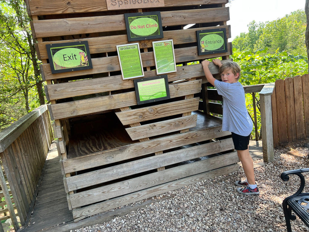
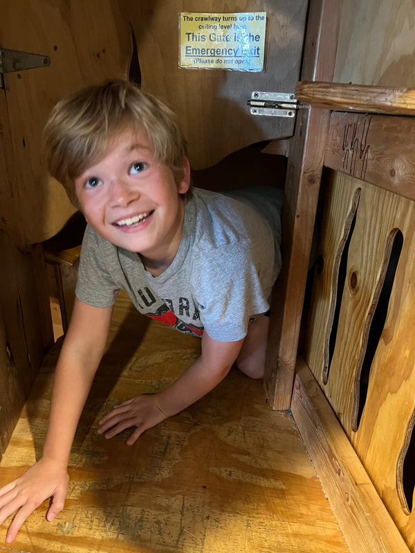
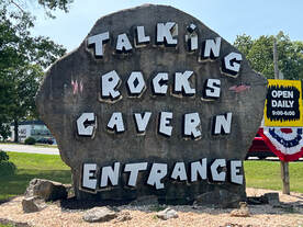 Talking Rocks Cavern 423 Fairy Cave Ln. Branson West, MO 65737 Open Year Round except for Christmas Day and Thanksgiving! I am always looking for fun things to do with the grandkids! They aren't little anymore, so on the good side, we can start doing more interesting, complex things that don't always involve loud noises and blinking lights! Lol On the other hand, as they eek closer to their teenage years, it becomes a bit more tricky to find things they will WANT to do and come away still thinking I'm the best Grammy ever. I happy to say, the Talking Rocks Cavern delivered and I still claim the title of Best Grammy... as of this writing, of course... it's a slippery slope! Lol
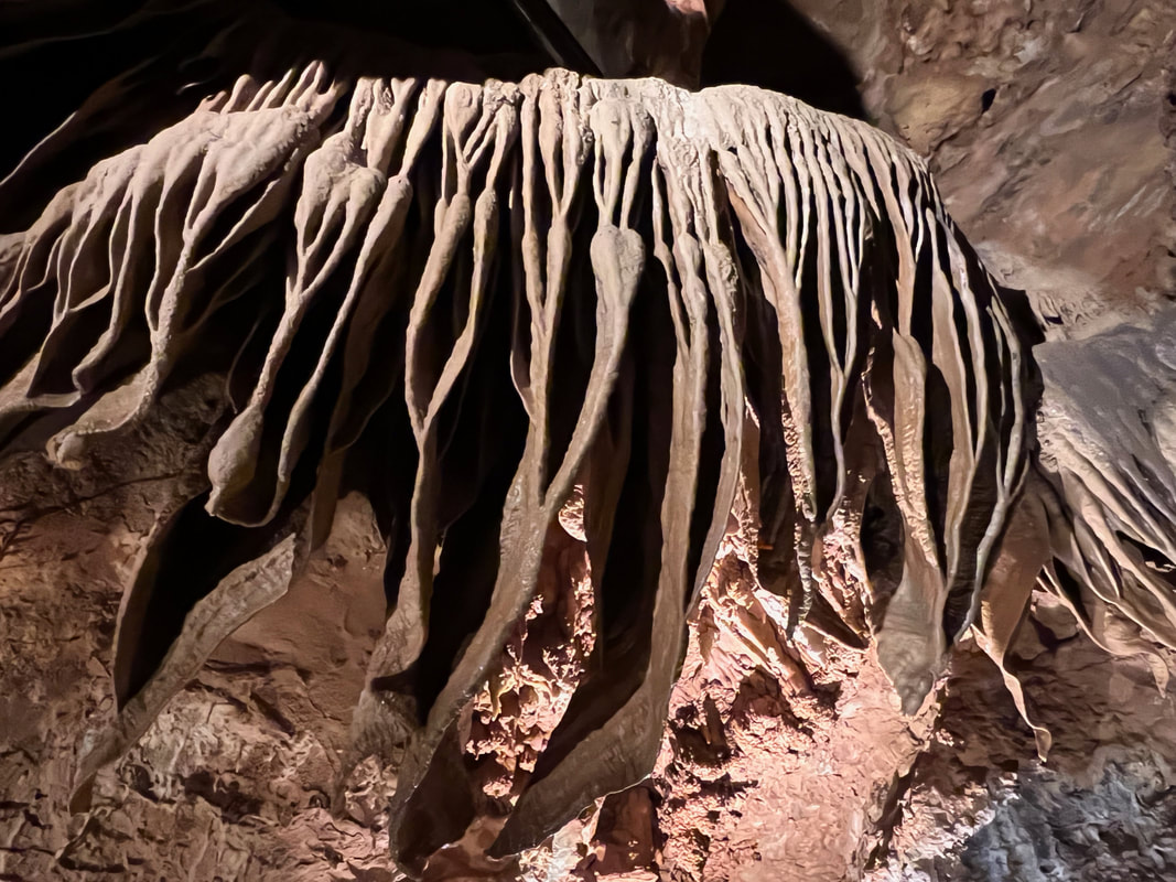
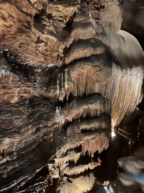
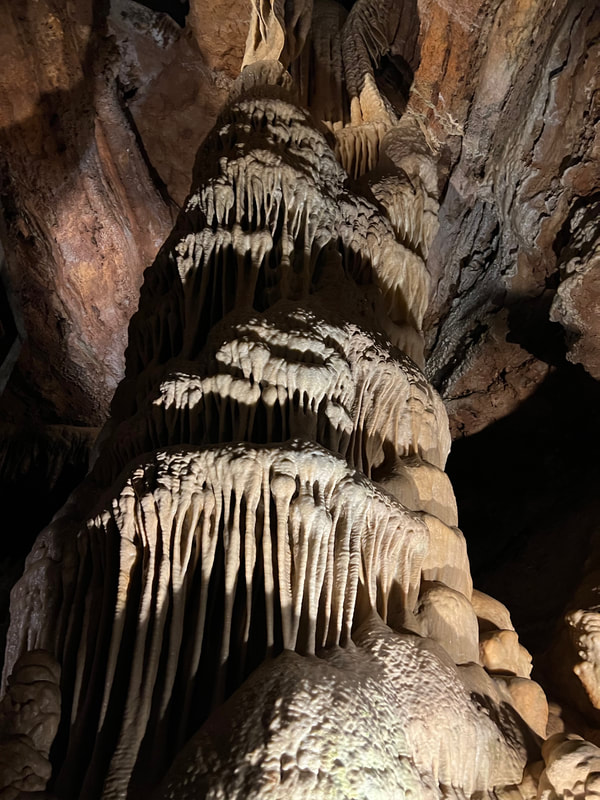
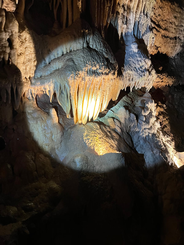
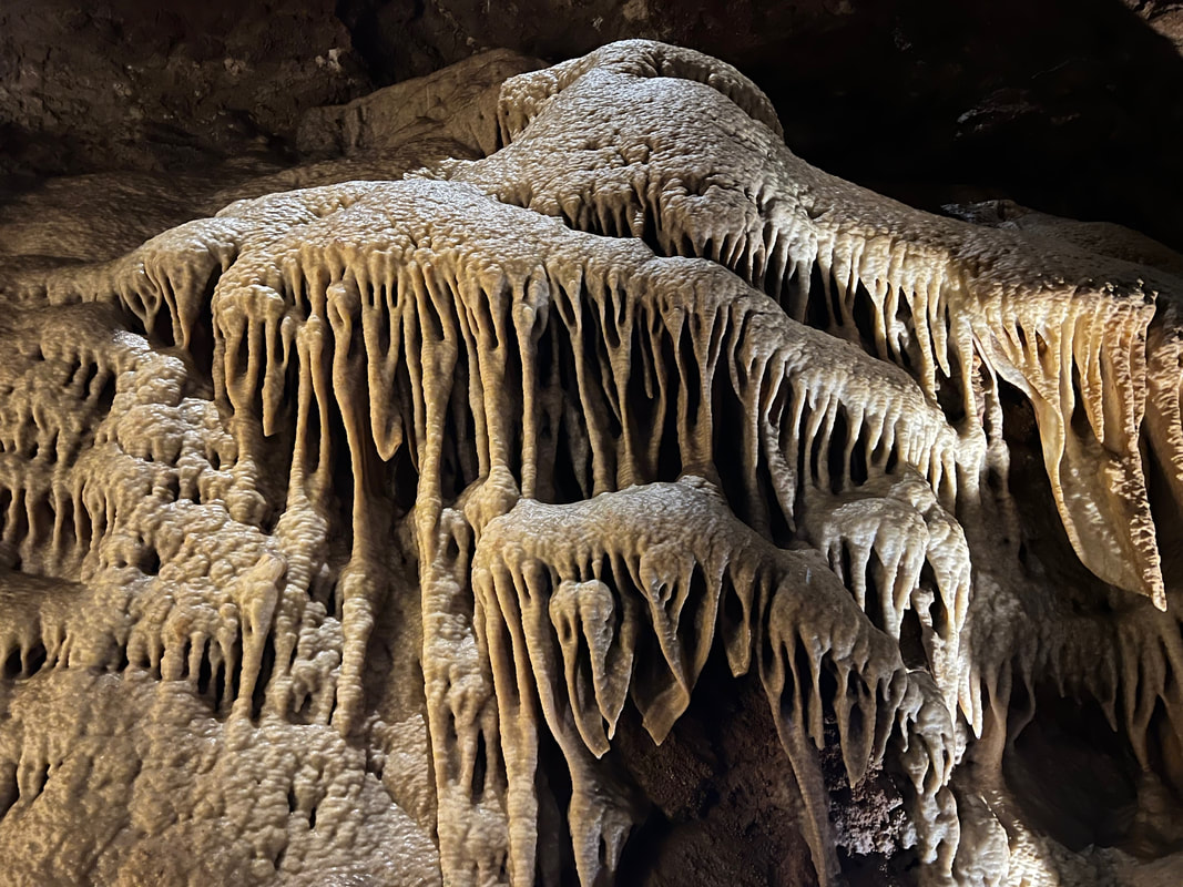
There are guided tours through the cavern every 30 minutes or so and the guide talks about the history and the geology of the area and not in a boring way. Talking Rocks Cavern is vertical in nature. You enter at ground level and are guided down, down, down into the depths. It has concrete handrails and steps throughout the cave, but you have to be aware of your surroundings. Sometimes the steps are slick and other times you have to duck because the rock formations extend out over the walkways. The guides are really great about letting people know about what's coming up as far as liabilities are concerned but also the best places to grab some awesome photos! People of all ages can enjoy this fun afternoon adventure and it's a comfortable 63 degrees year round!
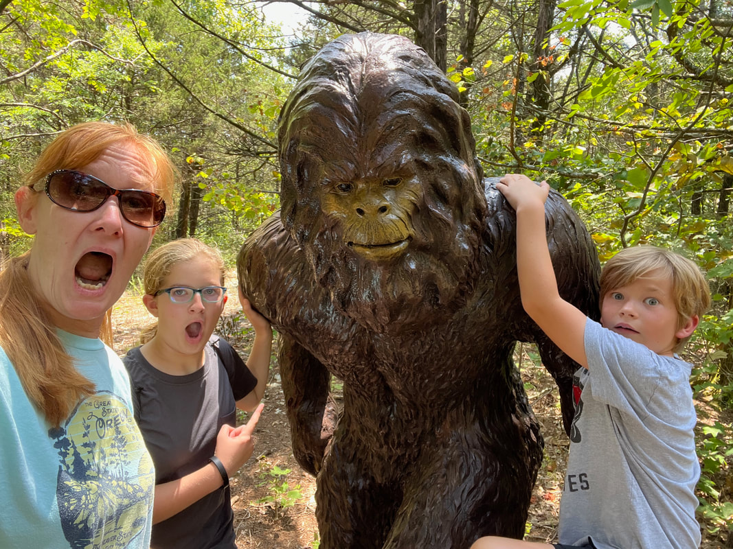
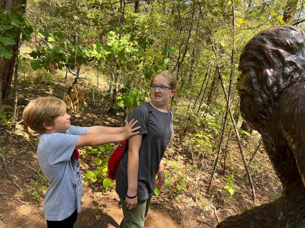
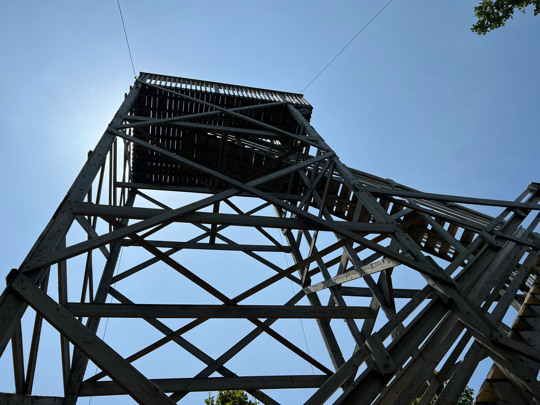
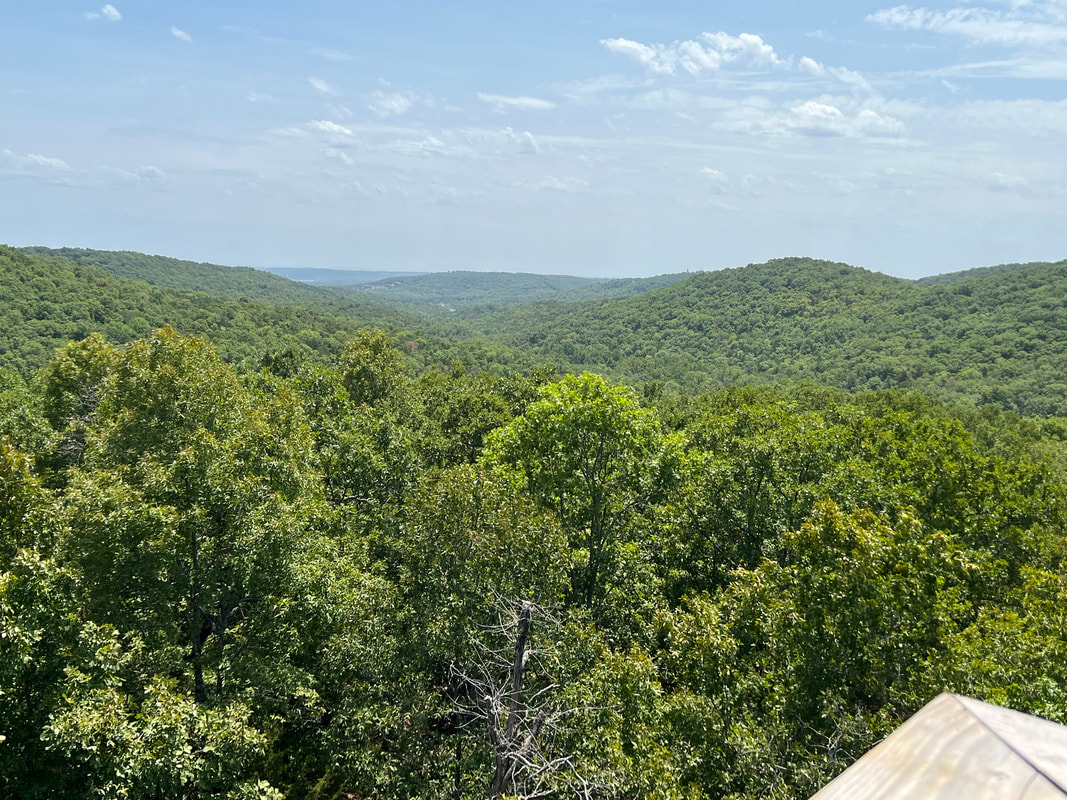
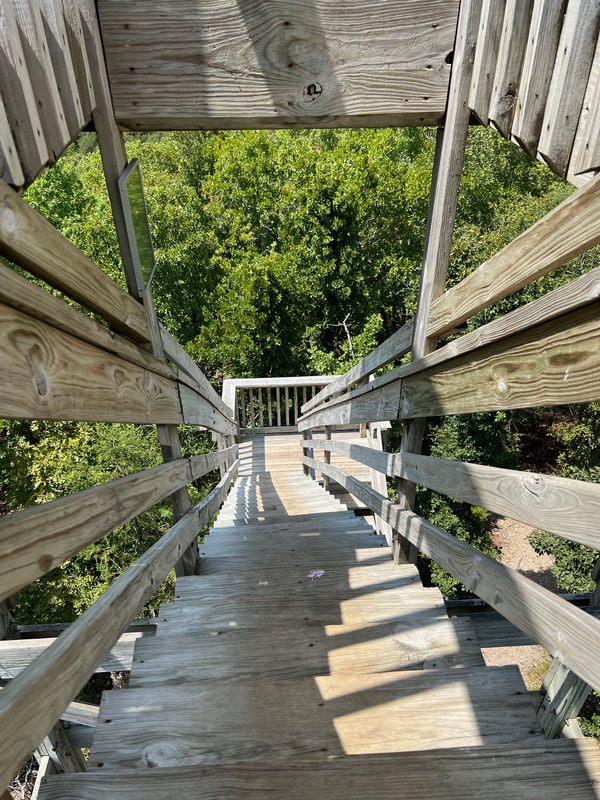
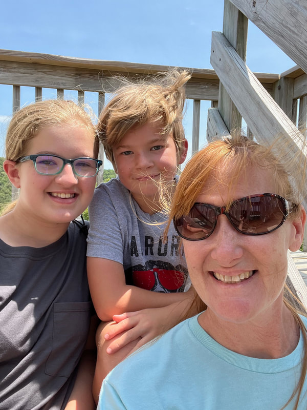
BIGFOOT!!!! We survived our encounter and made it to the tower...
|
AuthorElizabeth Bourgeret is an author, blogger, podcast host and full-time traveller. Here is where you'll find her adventures. Grab your beverage of choice, pull of a chair and dive in... Follow the group on Facebook!
|
Copyright © 2013 Elizabeth Bourgeret | Terms & Conditions | Privacy Policy | Contact Me I Newsletter

 RSS Feed